The Mountains That Breathe Fire: Volcanoes Most Likely to Erupt in Our Lifetime
A volcano is an excellent way to discover how many feelings I can have about a mountain. There’s the beauty, the curiosity, the urge to understand what’s happening underneath it, and the firm preference for appreciating molten rock from an appropriate distance. A glowing lava fountain can be magnificent. My enthusiasm for the photograph comes with considerable respect for the people whose homes and work sit nearby.
When we ask which volcanoes might erupt during our lifetime, the strongest starting point is their recorded behavior. Etna’s frequent activity and the recent eruptions on Iceland’s Reykjanes Peninsula put them in a different conversation from Fuji or Yellowstone. Other volcanoes deserve attention because of the hazards they pose to nearby communities, even when an eruption’s timing remains uncertain. This is a guide to ten important examples, rather than a scientifically ranked forecast of the next ten eruptions.
There’s a useful distinction between eruption likelihood and volcanic threat. The U.S. Geological Survey’s national assessment combines hazard with exposure, including nearby populations, infrastructure, and aviation. A volcano can rank highly because the consequences could be serious. That ranking doesn’t provide an appointment for its next eruption, however much a dramatic headline might enjoy putting one in our calendars.
Reading a volcano’s history
Scientists combine geological records with monitoring to assess what a volcano might do. During unrest, changes in earthquakes, ground deformation, and gas emissions can help them evaluate possible scenarios. The information is interpreted against that volcano’s usual behavior. A single earthquake or an impressive plume needs context, and even well-monitored unrest can have several possible outcomes.
I find that work far more interesting than a speculative date range. A claim that a mountain will erupt between two particular future years sounds satisfyingly specific, but the specificity needs evidence behind it. The more useful questions concern the observed changes, the scenarios under consideration, and what the responsible observatory is telling the public. Those answers can change as new information arrives.
Campi Flegrei, Italy
Campi Flegrei is a volcanic caldera system around Pozzuoli, west of Naples. Its long history includes enormous caldera-forming eruptions and the much more recent Monte Nuovo eruption in 1538. INGV describes its present-day activity in terms of ground deformation, earthquakes, and hydrothermal emissions. The landscape contains a complex volcanic system beneath and alongside a densely inhabited area.
The rise and fall of the ground is known as bradyseism. INGV dates the change to yellow alert to 2012, and its monitoring documents the continuing investigation of the unrest. That alert history belongs alongside the measurements, rather than being converted into a claim that an eruption has been scheduled. People can experience damaging earthquakes and disruption during unrest even when magma never reaches the surface.
What makes Campi Flegrei important to this discussion is that combination of an active system, an inhabited landscape, and consequential uncertainty. Its next eruption, if one occurs, would need to be assessed through the developing evidence. The largest eruption in its distant past doesn’t automatically describe the next event. Scale, location, and the way an eruption unfolds all matter.
Mount Rainier, United States
Rainier’s snow and ice make it an especially striking mountain, and its valleys are central to understanding its hazards. USGS identifies lahars among the major concerns. These fast-moving mixtures of water, sediment, and rock can travel downstream, taking volcanic danger well beyond the summit. A person’s position in a drainage can matter as much as the distance that looks reassuring on a photograph.
Some lahars can begin with a large landslide without an eruption or conventional volcanic warning. That possibility is part of the reason for dedicated detection and warning systems, developed with local partners. Rainier therefore belongs in a conversation about preparedness as well as future eruptions. Assigning it a particular late-century eruption window would miss an important part of what communities are actually planning for.
Mount Fuji, Japan
Fuji’s familiar outline can make its volcanic history feel almost separate from the mountain people recognize. The Japan Meteorological Agency describes both lava-producing and explosive activity in its past. The 1707 Hōei eruption occurred from its southeastern flank and sent substantial ash toward Edo, now Tokyo. That history demonstrates why a future event would matter far beyond a dramatic view of the summit.
A past eruption helps identify possible hazards, while present monitoring helps assess current activity. The long interval since 1707 gives us a date in the record, rather than a deadline. For Fuji, I’m interested in the work behind ash and evacuation planning, and in the difference between a plausible future scenario and an announcement that the scenario is about to happen.
Taal, Philippines
Taal’s setting inside a lake gives it a distinctive appearance, with volcanic hazards that deserve their own careful explanation. PHIVOLCS documented its major January 2020 unrest and eruption, along with subsequent episodes. Its advisories describe concerns including steam-driven explosions, ash, gas, and activity affecting Volcano Island. The visible island is part of a larger volcanic system.
PHIVOLCS identifies Taal Volcano Island as a Permanent Danger Zone. Current bulletins and access restrictions are the appropriate references for decisions around the volcano, because conditions can change. A scenic overlook and a boat ride are different situations, and a beautiful view doesn’t tell us which locations are open. Taal’s record supports continued attention without requiring a promise of a larger eruption in a particular decade.
Paektu, North Korea and China
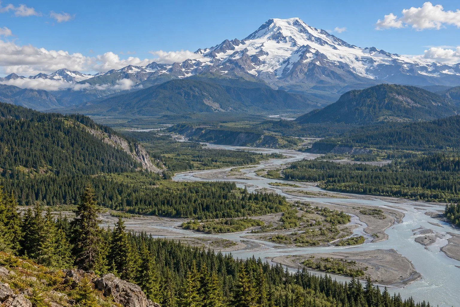
Paektu, also called Changbaishan, has an extraordinary eruptive past, including the tenth-century Millennium Eruption. The Smithsonian’s Global Volcanism Program records the volcano’s history and episodes of unrest, including increased seismicity and deformation in the early 2000s. Those observations give researchers something substantial to investigate, rather than a reason to fill the missing details with an imagined future catastrophe.
A very large past eruption establishes what a system has done. It doesn’t establish the size or date of its next eruption. Paektu’s monitoring and geological record deserve attention on their own terms, with the limits of available information stated clearly. I’d rather follow a careful explanation of those limits than pretend an uncertain system has supplied us with a mid-century itinerary.
Nevado del Ruiz, Colombia
Nevado del Ruiz shows how an eruption’s consequences can depend on snow, ice, and the valleys below it. Its November 1985 eruption generated devastating lahars, including those that struck Armero. The Colombian Geological Service describes a disaster that killed roughly 25,000 people across affected communities. Remembering it accurately means giving the victims and the hazard more space than a dramatic nickname.
The Servicio Geológico Colombiano continues to monitor the volcano and publish information, and its hazard mapping includes the routes and reach of possible lahars. That work connects scientific observations to places where people live. Eruption size alone offers an incomplete measure of danger when water and loose material can carry the effects downstream.
The lesson I take from Ruiz concerns communication and response as much as geology. A hazard map needs to be understood, and warnings need to reach people in a form they can use. A general article can explain why that matters, while current instructions belong to the observatory and local authorities. An invented prediction of a deadly event would add fear without improving anyone’s understanding.
Iceland’s Reykjanes Peninsula
Reykjanes is an example where the conversation includes eruptions already witnessed in recent years. The Fagradalsfjall area erupted in 2021, 2022, and 2023. Activity at the Sundhnúkur crater row, associated with the Svartsengi system, followed from December 2023. The Icelandic Meteorological Office explains these events through measurements of seismicity, deformation, magma movement, and the evolving hazards.
These places are connected by a regional setting, but names and locations still matter. Calling every eruption near Reykjanes “Fagradalsfjall” can obscure which communities or roads are affected. Similarly, an earlier Icelandic ash-cloud emergency doesn’t tell us how a different eruption will behave. The style of eruption and the interaction of magma with its surroundings shape the consequences.
Repeated recent activity makes further eruptions in the region a reasonable subject for ongoing scientific assessment. Their timing and exact location still depend on the developing situation. IMO updates and hazard maps are far more useful than a repeating list of future years. I appreciate a good calendar, but this is one appointment system the planet has declined to synchronize with my phone.
Yellowstone, United States
Yellowstone is famous for enormous eruptions in its geological past, which helps explain its permanent place in disaster headlines. USGS is direct about the “overdue” claim: eruptions don’t follow a predictable schedule, and Yellowstone is not overdue. Calculating an average interval between a few ancient events doesn’t turn the next event into a missed obligation.
It’s also important to distinguish different kinds of activity. Yellowstone’s hydrothermal system, earthquakes, ground movements, and volcanic history are studied together, with different processes producing different hazards. A change at a geyser isn’t automatically evidence for an approaching caldera-forming eruption. The Yellowstone Volcano Observatory supplies the context needed to interpret what’s being observed.
I include Yellowstone because it demonstrates how reputation can outrun a useful explanation. It deserves study and monitoring, while the claim that it belongs near the top of a lifetime eruption ranking would need a separate scientific basis. Its immense past is fascinating enough. I’m happy to let the observatory handle the present instead of giving an old eruption a new countdown.
Mount Etna, Italy
Etna is among the clearest examples here of a volcano with frequent recorded eruptive activity. INGV’s DANTE database brings together more than 2,500 years of its eruptive history, incorporating monitoring information. Summit activity, lava fountains, ash emissions, and flank eruptions have different implications, so describing the particular event is more useful than saying the mountain is simply “going off.”
The Etna Observatory monitors the volcano and issues information relevant to civil protection and aviation. Frequent activity supports the expectation that Etna will remain an important source of eruptions to study during our lives. It still leaves questions about when the next episode will occur, which vent may be involved, and how the activity will develop. Familiarity makes good observation valuable, especially for people living and working around the mountain.
As a wine person, I’m naturally interested in a landscape where vineyards and volcanic geology share the view. That interest gives me another reason to appreciate accurate local information. A place can be culturally rich, agriculturally productive, and volcanically active at the same time. The people who know it as home deserve an account that includes daily life alongside the remarkable geology.
Mount Shasta, United States
USGS describes Mount Shasta’s recent geological record through lava flows, domes, pyroclastic flows, and other deposits. Its history shows that future activity is a legitimate subject for monitoring and hazard assessment. The average eruption intervals sometimes quoted for Shasta summarize a past record. They need to be read with the same care as averages for any other volcano.
An average interval leaves room for considerable variation, and a long gap alone doesn’t identify the timing of the next eruption. What matters for an assessment is the geological evidence together with observations of the system. Shasta’s presence on a volcanic threat list reflects a combination of potential hazards and exposure; it gives us a reason to support monitoring, rather than a future year to circle.
What the monitoring is listening for
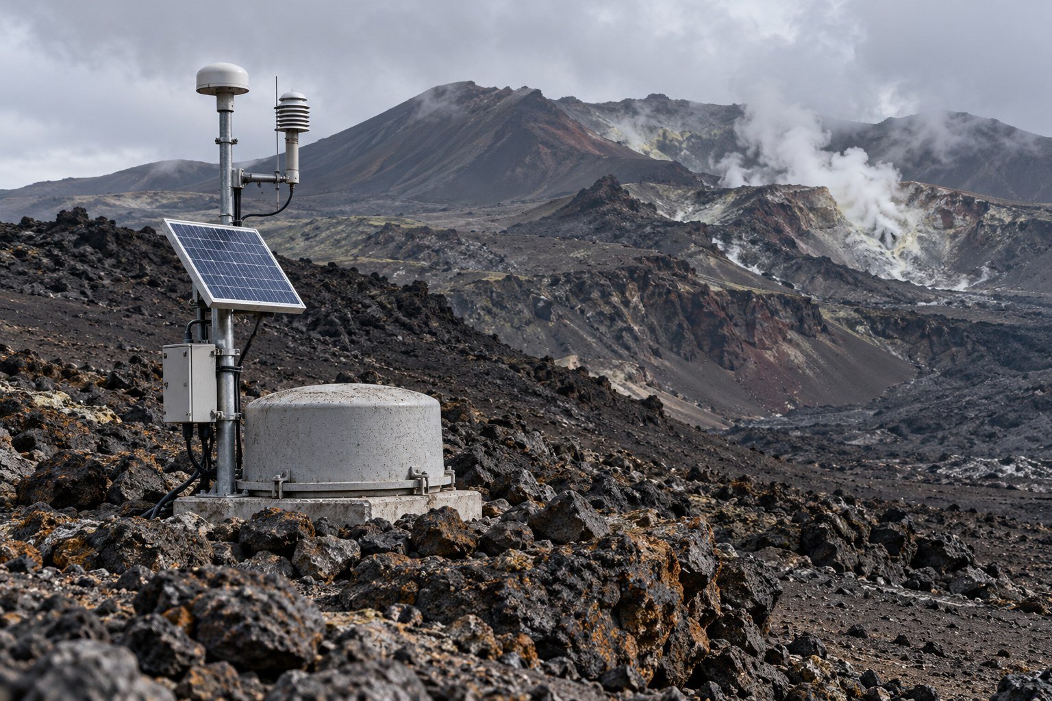
The useful picture comes from several measurements. Seismometers track earthquakes, instruments measure ground movement, and gas observations add information about what is escaping from below. Scientists look at how these signals change together and compare them with a volcano’s history. Better coverage can improve interpretation, even while some outcomes remain uncertain.
That uncertainty is part of the science being done. Forecasts can describe possible scenarios and how their likelihood changes as evidence develops. The language may be less dramatic than a guaranteed eruption date, but it helps people understand both the concern and its limits. I’m much more interested in an explanation that can be updated than a prediction whose confidence came entirely from its punctuation.
The landscape tells you which questions to ask
Lava is only one volcanic hazard. USGS threat assessments also consider ash, pyroclastic density currents, landslides, lahars, and other processes, alongside the people and infrastructure exposed to them. Different hazards travel in different ways. An ash problem for aviation, a lava flow near a road, and a lahar moving along a drainage each call for their own assessment.
For a visit or a home near a volcano, I’d begin with the responsible observatory’s current updates and local emergency information. Check access restrictions and the relevant hazard map, and follow official directions if conditions change. That gives curiosity a practical foundation. A photograph, an old travel post, or the behavior of an animal can’t provide the same basis for deciding that a restricted area is safe.
I’ll definately keep looking at volcanoes with wonder. Their shapes preserve eruptions, collapse, rebuilding, and erosion, often across spans of time that are difficult to hold in my head. Understanding the process makes that view more rewarding. It also makes room for the scientists maintaining instruments, the people explaining warnings, and the communities making ordinary lives around extraordinary geology.
The best answer to which mountains we may see erupt is therefore a combination of history and ongoing observation. Frequently erupting systems offer different expectations from volcanoes with long gaps between events, and serious hazards can exist beyond the next eruption itself. We can appreciate the glow, ask better questions, and let the evidence guide how close we get.
Related Reads
The Wave That Waits: Cascadia’s Silent Threat and the Tsunami That Could Drown a Coastline
The Carrington Event: The Solar Storm That Set Telegraphs on Fire
The Brain’s Lighthouse: How Forgiveness Changes Your Neural Pathways
Copper Cups, Copper Doorknobs, and Why Everyone’s Suddenly Obsessed
The Weird Link Between Happiness and Sleep: Why Sadness Makes You Want to Stay in Bed
Sources
USGS: Using monitoring and volcanic history to forecast eruptions
Servicio Geológico Colombiano: Understanding Nevado del Ruiz
Icelandic Meteorological Office: Reykjanes reactivation and hazards
Icelandic Meteorological Office: Comparing recent eruption episodes
Image note: The three accompanying images are AI-generated editorial illustrations of imagined volcanic landscapes and monitoring equipment. They do not document a named volcano, an actual eruption, or a specific monitoring station, and they are not hazard maps.