The Wave That Waits: Cascadia’s Silent Threat and the Tsunami That Could Drown a Coastline
The Pacific Northwest coast has the kind of beauty that makes a person temporarily forget there are practical things to consider, like tides, weather, and whether the path back to the car involves a hill. Cascadia adds another reason to look at the landscape carefully. Offshore, tectonic plates meet along a fault capable of producing a very large earthquake and a damaging tsunami. Understanding that hazard gives the coastline another layer of meaning, along with some useful things to learn before visiting.
I want to keep both parts of that story in view: the extraordinary geology and the communities making plans around it. Cascadia deserves a clear explanation, with enough detail to turn concern into something useful. The research establishes a major long-term hazard, while the date and exact effects of the next event remain uncertain. A dramatic title can get us to the page; the rest of the article needs to help us understand what to do with the information.
The most useful safety point belongs near the beginning. In a coastal tsunami hazard zone, strong or long shaking, unusual ocean behavior, or a loud ocean roar can be a natural warning. The National Weather Service advises protecting yourself during the shaking, then moving to high ground or inland outside the hazard zone as soon as you can move safely, without waiting for an official alert. At the beach or near the water, it advises moving away after an earthquake of any size or duration.
The fault beneath the ocean
Cascadia is a subduction zone extending offshore from northern California to British Columbia. Oceanic plates, including the Juan de Fuca and Gorda plates, move beneath North America. The large fault at the plate interface is called a megathrust. Friction can keep parts of that interface locked while the plates continue moving, allowing strain to accumulate until a rupture releases energy as an earthquake.
USGS research emphasizes the complexity of that boundary. The extent of a rupture, how much different parts slip, and the structure of the offshore margin all matter to hazard estimates. A future earthquake could involve different portions of the fault, with different consequences. It’s useful to imagine a system with a range of possible behaviors, rather than a single enormous switch waiting to flip in exactly the way a movie has rehearsed.
An offshore earthquake can produce a tsunami when it displaces the seafloor and the water above it. NOAA explains that the direction and extent of seafloor movement help determine whether a significant tsunami forms. The water then carries that disturbance away from the source. The earthquake and tsunami are connected hazards, with different physical processes and different patterns of damage to consider.
What happened in 1700
The last great Cascadia earthquake occurred on January 26, 1700, in Pacific Northwest local time. Its tsunami crossed the Pacific and reached Japan, where historical documents recorded flooding without a locally felt earthquake. Researchers connected those records with evidence from the North American coast. NOAA’s account brings together geological evidence, tree records, Indigenous oral histories, historical documents, and tsunami modeling.
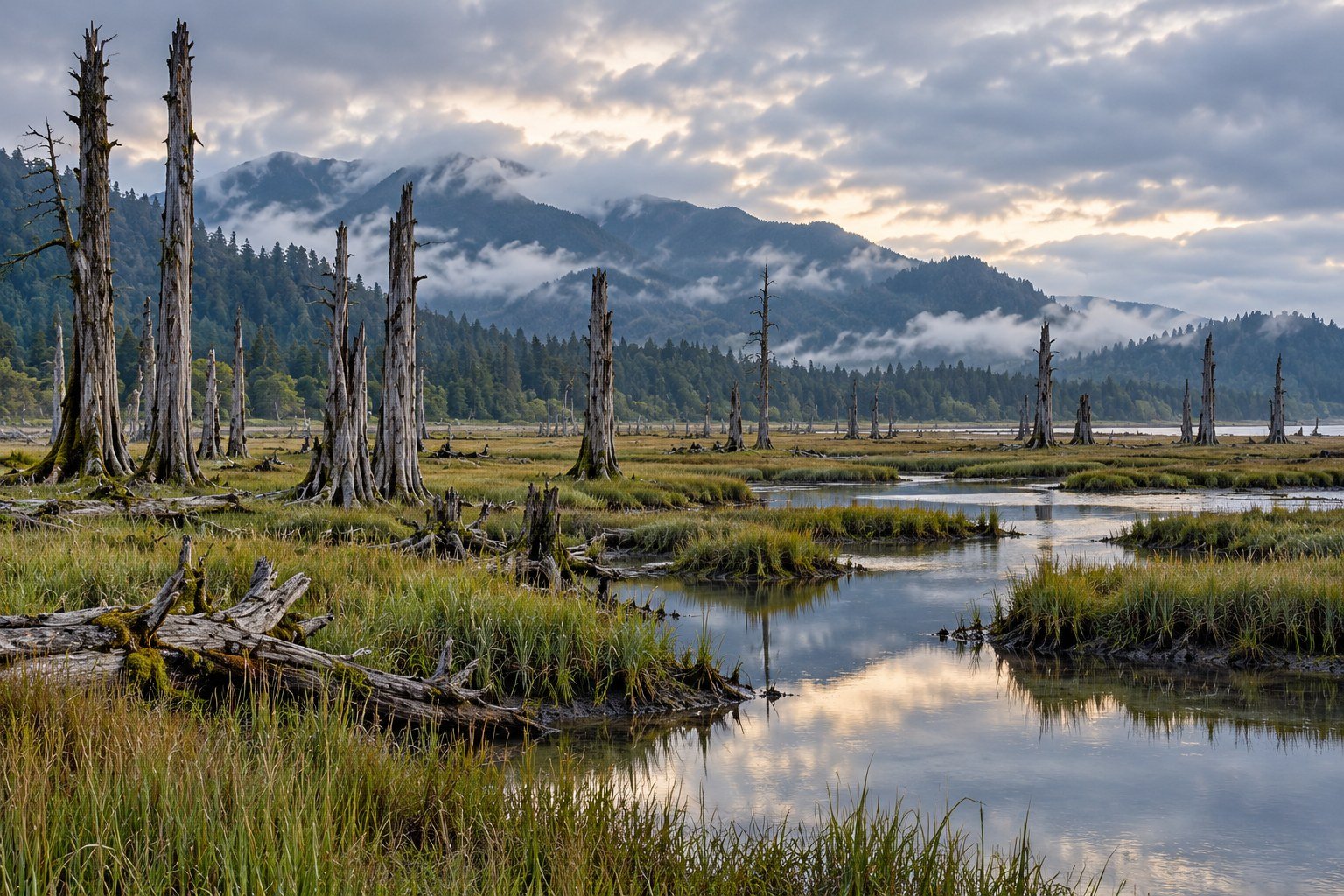
The coastal evidence includes buried marsh soils, tsunami sand deposits, and standing dead trees in tidal landscapes known as ghost forests. Sudden land-level change and saltwater inundation can leave traces that remain long after the water recedes. These records help researchers reconstruct events that occurred before modern instruments were available. Different kinds of evidence answer different questions, and their agreement makes the reconstruction stronger.
I find that detective work fascinating. A tree, a layer of sand, and a document across an ocean can each preserve part of an event, with researchers working out how the pieces fit. Indigenous accounts belong in that history as knowledge carried by communities, with their own context and meaning. Treating every account as interchangeable would lose the detail that makes the record worth understanding.
There’s also a useful lesson in the date itself. Knowing when an earlier earthquake happened helps establish the region’s history and inform probability estimates. It doesn’t hand us the date of the next one. The distinction lets us appreciate how much researchers have learned while keeping the remaining uncertainty visible, where it can guide planning rather than disappear behind a confident-sounding headline.
What the probability actually says
A USGS fact sheet published in September 2025 gives a 10–15% chance of an approximately magnitude 9 Cascadia earthquake over the following 50 years. The report describes different estimates depending on the recurrence model used. That range concerns a defined type of earthquake over a defined period, and it should travel with those qualifications whenever it appears in an article.
It isn’t a prediction for a particular year, and it isn’t a personal probability of being injured. Nor does it mean a location has a 15% chance of receiving one particular wave height. Those are different questions, requiring additional information. The same USGS assessment distinguishes megathrust earthquakes from deep earthquakes within the descending plate and shallow crustal earthquakes, which contribute to the region’s broader seismic hazard.
USGS states that scientists can estimate earthquake probabilities but can’t predict a major earthquake’s exact time, location, and magnitude. That is why I’d leave “overdue” out of a practical explanation. It makes a geological estimate sound like a missed appointment. Faults have a remarkable lack of interest in our calendars, which is inconvenient for everyone who would prefer preparedness to come with a neatly scheduled weekend.
The agency also explains that temporary increases and decreases in worldwide earthquake activity are normal fluctuations, rather than proof that a major earthquake is imminent. A sequence of alarming stories from distant places doesn’t establish a countdown for Cascadia. I’d rather follow the regional science and preparedness guidance than ask a collection of unrelated headlines to behave like a forecasting instrument.
A tsunami has more than one shape
NOAA distinguishes tsunami waves from the wind-generated waves familiar at a beach. Tsunamis have much longer wavelengths and can involve movement through the whole water column. Near shore, that motion can produce rapid flooding and powerful currents. The danger can include water carrying debris and moving through channels, with effects shaped by the seabed and the land it reaches.
That’s why a single statement such as “the wave will be 100 feet high” is a poor description of a regional hazard. Wave height, run-up elevation, and flow depth measure different things, and conditions vary between places. A harbor, an estuary, a broad beach, and a steep headland create different settings. The map for a particular community is more useful than one spectacular number applied to an entire coastline.
A nearby source can also leave little time between shaking and tsunami arrival. The relevant interval depends on the rupture and the location, so a generic number of minutes should never become a reason to delay evacuation. For planning, the useful questions are where the local hazard zone ends, which route reaches safety, and whether everyone in the group can follow it under difficult conditions.
I think this is where the science becomes easier to use. Instead of trying to picture the biggest possible wall of water, picture the route from a familiar doorway to a designated safe place. Which turn comes first, what landmarks help, and where could a route become difficult? Those are questions that a local map and an advance walk can help answer, long before anyone is trying to think clearly after strong shaking.
The coast and inland cities face different hazards
Seattle and Portland are sometimes grouped with exposed outer-coast communities as though a Cascadia tsunami would affect them in the same way. Geography calls for a more precise account. The Pacific Northwest has earthquake hazards across a broad region, while tsunami inundation depends on the source and the local waterways and terrain. A regional earthquake footprint and a coastal tsunami evacuation zone serve different purposes.
Washington’s geological resources identify tsunami threats from Cascadia as well as local crustal faults, including the Seattle and Tacoma faults. Those scenarios shouldn’t be collapsed into one interchangeable threat. People around Puget Sound need the maps and instructions appropriate to their location, just as people on the outer coast do. An inland address can face serious shaking concerns without sharing a beach community’s evacuation route.
That distinction also helps when talking about damage. Shaking, landslides, disrupted roads, and loss of services can affect communities beyond the tsunami zone. Planning for one hazard may need to account for another, especially when an earthquake could make travel harder. The sensible response begins with identifying the actual hazards at a place, rather than assigning every location the same disaster scene.
What newer modeling adds
Oregon’s DOGAMI report O-24-11 describes improved Cascadia earthquake source scenarios using newer seismic imaging, geological interpretation, and other data. Its model collection includes 3,502 scenarios, reflecting different possible rupture conditions. The work supports the development of improved hazard analysis. It expands the ways researchers can investigate what could happen, rather than identify a single event that is about to occur.
I like seeing that range made explicit. Modeling can explore the consequences of different assumptions and help planners test where a community is vulnerable. A scenario is a tool for asking a question about a possible event. Its usefulness comes partly from understanding the assumptions behind it, including what it represents and what it leaves open for further work.
DOGAMI also provides community evacuation resources that distinguish local and distant tsunami sources. Those differences matter because a tsunami generated far across the Pacific gives warning systems a different situation from an earthquake just offshore. For an address, hotel, or campground, I’d start with the official local evacuation information and ask local emergency management about anything unclear. A general-interest article should help people find that information.
Learning a route before it matters
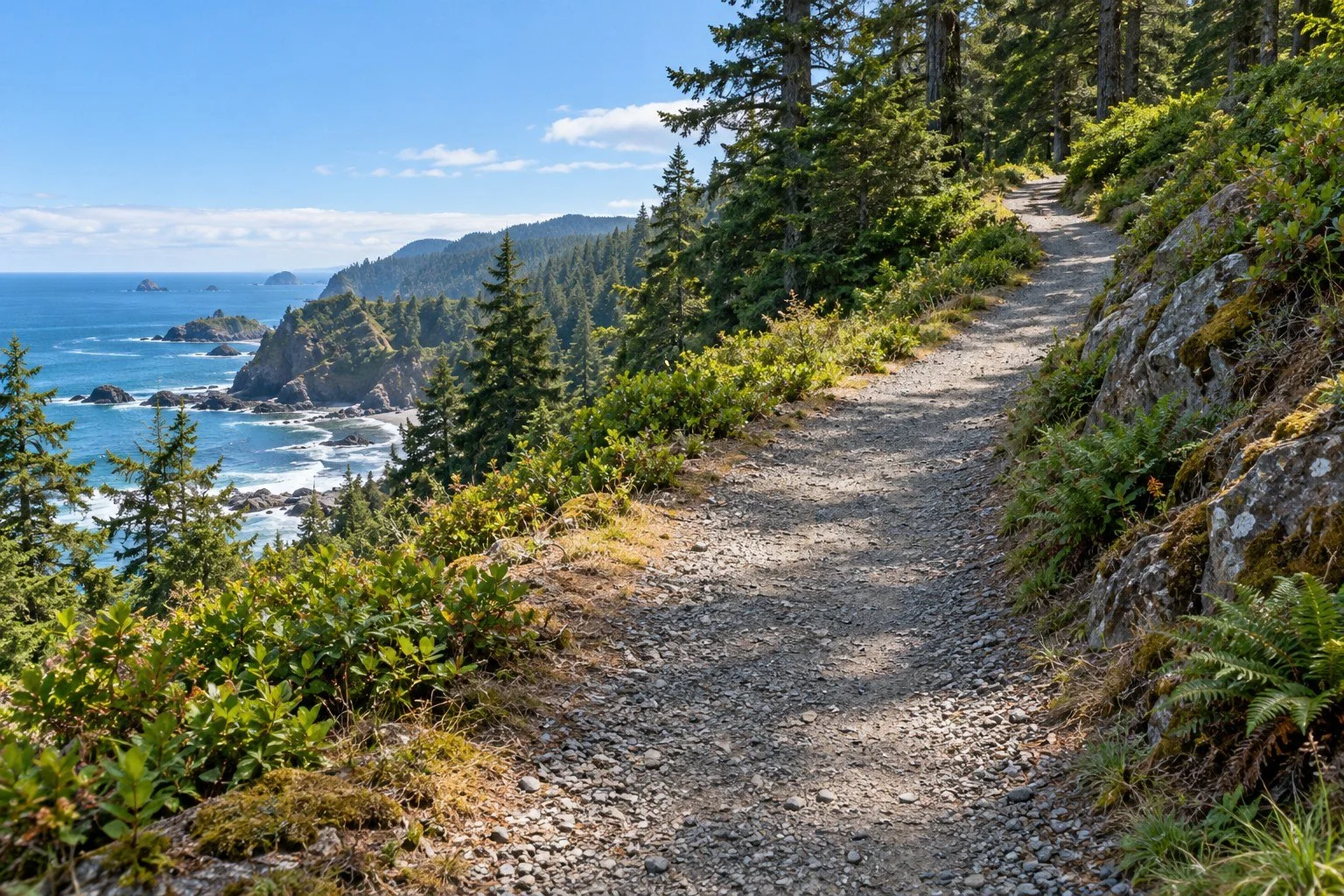
The National Weather Service recommends planning to reach a safe place on foot when possible, because roads may be damaged, closed, or congested. It also recommends practicing routes and checking the plans for places a family uses, including schools and visitor accommodations. Local evacuation maps and designated assembly areas give that preparation a practical destination. Accessibility and the time needed by the whole group belong in the plan.
I’d want to make that conversation ordinary enough to have before a trip. We already check parking, restaurant reservations, and whether a rental has enough towels for the number of people staying there. Looking up the evacuation map can be another part of arriving somewhere unfamiliar. It’s a useful way to enjoy a place with a little more confidence, rather than leave the important geography for a hurried discovery later.
Where natural high ground is difficult to reach, designated vertical evacuation structures can be part of a community’s strategy. Washington documents purpose-built examples, including the refuge incorporated into the Ocosta school project near Westport. That doesn’t make every tall building an approved refuge. The local plan should identify which structures are intended for evacuation and how people can reach and use them.
Warnings are information to act on
Official tsunami alerts have different meanings. A warning signals the potential for dangerous flooding and calls for action under local instructions; an advisory concerns dangerous currents and waves in or near the water. A watch means a tsunami is possible and people should prepare for further information. The National Weather Service explains these categories so a message can be matched to the right response.
Natural warnings are equally important, especially for a local tsunami. The ocean doesn’t have to withdraw first, and waiting to see exposed seabed would add an unnecessary step to recognizing danger. Strong or long shaking in a coastal hazard zone is itself a reason to act once movement is safe. I’d keep the response simple enough to remember and practice, with the detailed route decided beforehand.
The first wave may be followed by larger waves, and dangerous conditions can persist. The National Weather Service advises staying outside the hazard zone until local officials say it is safe to return. A canceled warning alone doesn’t establish that damaged areas are safe. Returning also involves hazards such as weakened buildings and broken utility lines, which require assessment beyond watching the water appear calmer.
Supplies support the plan
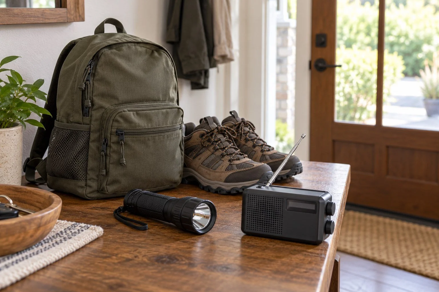
Oregon encourages households to be ready with food, water, and supplies for at least two weeks after a large-scale disaster. That is a different task from carrying a small bag during an evacuation. Household storage, an accessible grab bag, communication arrangements, and the needs of pets or anyone requiring assistance can be considered together, with the local emergency plan guiding the priorities.
For the equipment side, a portable radio can be one way to receive information after reaching safety. If you’re comparing options such as this solar-powered emergency radio + charger, check the current model’s reception, power sources, and instructions before relying on it. I’d practice using it and keep the appropriate power supply ready. Solar and hand-crank features deserve realistic expectations; the manufacturer describes emergency device charging as a backup use.
The same approach applies if you prefer starting with a kit for emergency survival for the whole family. Compare its current contents with official supply guidance and your household’s needs, then add what’s missing. A packaged kit is a starting point to assess, rather than proof that every person and pet is covered. The most useful equipment is the equipment someone can find, carry when appropriate, and use without first holding a small committee meeting over the instruction booklet.
I’d definately rather spend an ordinary afternoon making those decisions than try to make them all during an emergency. The work can be shared, adjusted, and revisited as needs change. Knowing the route, arranging help, and keeping essential items accessible are concrete ways to turn a very large geological story into actions that fit an actual household.
Cascadia’s history tells us that the region can experience powerful earthquakes and tsunamis. Its future calls for careful research, strong local planning, and information people can use. I can still appreciate the coast’s beauty while learning how to leave a low-lying area safely. The view and the map belong in the same visit, with enough attention given to each that the practical part becomes familiar.
Related Reads
The Carrington Event: The Solar Storm That Set Telegraphs on Fire
The Brain’s Lighthouse: How Forgiveness Changes Your Neural Pathways
Copper Cups, Copper Doorknobs, and Why Everyone’s Suddenly Obsessed
The Weird Link Between Happiness and Sleep: Why Sadness Makes You Want to Stay in Bed
Sources
USGS: Earthquake probabilities in the Pacific Northwest, September 2025
Washington DNR: Tsunami sources, maps, and vertical evacuation
DOGAMI: Oregon Tsunami Clearinghouse and evacuation resources
National Weather Service: Natural warnings and actions during a tsunami
Oregon Emergency Management: Two-week household preparedness
Image note: The four images are AI-generated editorial illustrations of an imagined Pacific Northwest coast, a tidal ghost-forest landscape, an uphill path, and preparedness equipment. They depict no actual tsunami, scientific evidence site, approved evacuation route, or complete emergency kit. Use official local maps for evacuation planning.