What gets me about Pangaea is that the Atlantic Ocean, which seems like a fairly permanent arrangement when you're looking at a map, used to be a place where an ocean hadn't opened yet. Africa and South America were neighbors with considerably less water between them, and North America belonged to the same enormous gathering of land. I know we're supposed to accept that the planet changes, but there's something wonderfully inconvenient about finding out that even the continents haven't committed to their locations. We give places names, draw their edges, and get very attached to the whole arrangement while the ground continues with a much longer project.
Pangaea brings together several things I love reading about: ancient life, strange landscapes, and evidence that makes an ordinary-looking object suddenly feel much more interesting. A fossil leaf can help explain why pieces of land separated by an ocean once belonged beside each other, which is a remarkable amount of information for a leaf to leave behind. The story also sends me wandering into how connected the world still is, although I want to spend some time with the actual continent before asking it to explain our entire social life. It already had a lot going on, including mountains, enormous dry interiors, and the eventual arrival of an ocean that would make visiting the neighbors considerably more involved.
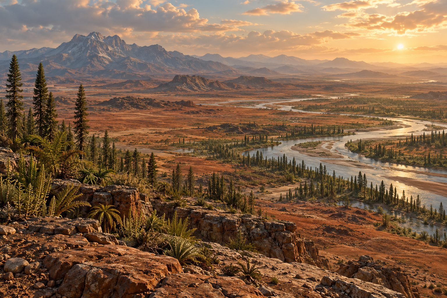
When Most of the Land Was Gathered Together
Pangaea was a supercontinent assembled through a long series of continental collisions around three hundred million years ago, with most of Earth's continental land joined during the late Paleozoic and into the early Mesozoic. Those dates describe an extended history rather than a single afternoon when the last piece slid into place. Its major breakup got underway roughly two hundred million years ago, eventually leading toward the arrangement we recognize today. The US Geological Survey describes North America as contiguous with Africa, South America, and Europe during the broad interval from about three hundred to two hundred million years ago, which makes our usual sense of a long-term neighbor feel a little inadequate.
There was still plenty of ocean, including the vast Panthalassa surrounding much of the supercontinent and the Tethys along its eastern side. A connected landmass didn't mean the whole planet was dry ground, and it certainly didn't mean every location offered an easy walk to every other one. Mountains, rivers, climate, and the needs of different species still mattered. I can admire the possibility of a much longer overland journey while also admitting that, as someone interested in where dinner is coming from, I'd have several practical questions before agreeing to cross an enormous prehistoric interior.
The Continents Are Riding on Something Bigger
The moving pieces are tectonic plates, which include the crust and the rigid uppermost part of the mantle beneath it, together called the lithosphere. A plate can carry both continental and oceanic crust, so the edge of a continent and the edge of a plate don't always line up. Beneath that rigid layer, hotter mantle rock can deform and flow very slowly even though it's largely solid. That last detail helps me, because the cartoon version can make the continents look like crackers bobbing around on soup, and then suddenly I'm trying to understand the planet using a lunch that isn't helping very much.
Plate movement involves Earth's internal heat and gravity, including the pull of cold, dense oceanic lithosphere sinking at subduction zones and gravitational movement away from elevated spreading ridges. Different plates move at different rates, commonly measured in centimeters per year, and interact by separating, colliding, or sliding past one another. Over a normal week, that sounds too small to deserve much attention, but give it millions of years and you can open an ocean or build a mountain range. I find that change in scale difficult in the best way, because the process is almost invisible at the pace I live while its accumulated results are large enough to organize the map.
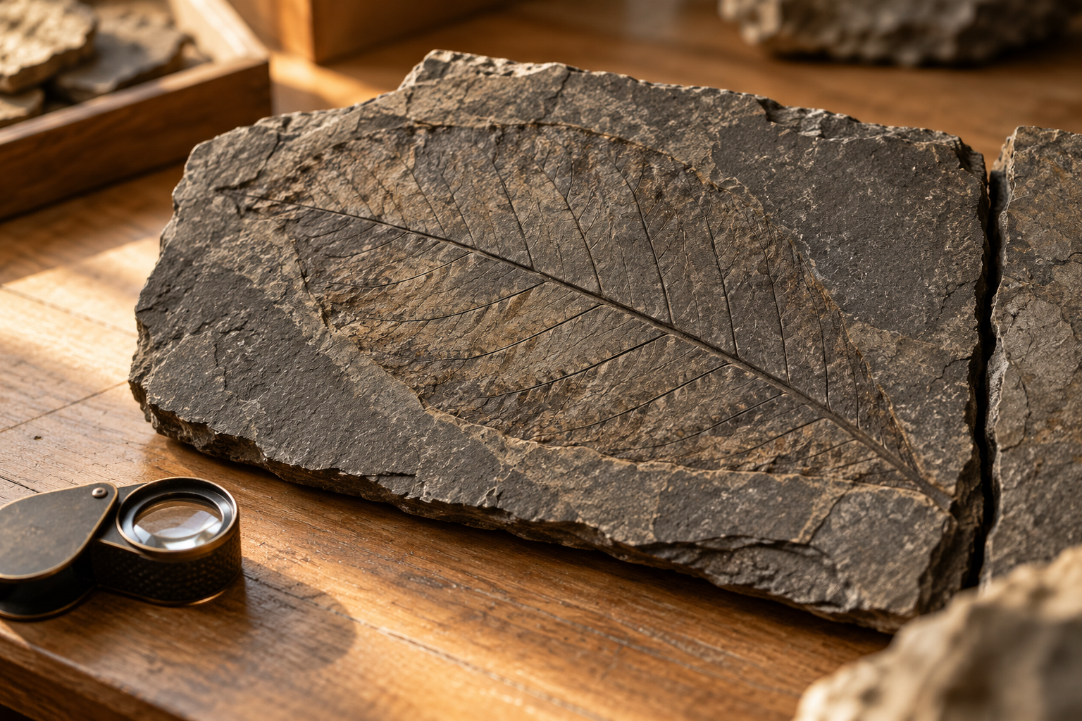
A Leaf Fossil Can Be a Very Good Clue
The fit between South America and Africa is an appealing place to start, but matching shapes alone wasn't enough to establish continental drift. Alfred Wegener brought together evidence from fossils, rocks, mountain belts, and traces of ancient climates when he argued in the early twentieth century that continents had moved. NASA's account of his work describes both the strength of those connections and the major problem he faced: he couldn't supply an adequate mechanism for the movement. The modern theory of plate tectonics developed later, with evidence that explained much more of how the planet works, so the story involves a promising idea becoming part of a better-supported explanation.
Glossopteris is one of the lovely examples, a group of extinct woody seed plants whose fossils occur across places including South America, Africa, India, Australia, and Antarctica. Bring the southern landmasses back together and that scattered distribution becomes much easier to understand. Mesosaurus, an ancient aquatic reptile known from southern Africa and eastern South America, supplies another piece of the case. The useful question is how an organism lived and spread in the geography of its own time, and how that history agrees with the other evidence, rather than whether we can come up with an especially determined reptile capable of crossing today's Atlantic.
I like the patience involved in that kind of reconstruction, because nobody gets to pick the one appealing detail and declare the whole job finished. The ages of the rocks, their structures, fossil distributions, and magnetic information preserved in some rocks have to be considered together. A leaf impression is suddenly part of a much larger conversation, even though it began as a leaf doing whatever its plant needed it to do. There's something satisfying about that ordinary beginning, especially when the result can help explain a place as far outside my everyday experience as a vegetated ancient Antarctica.
One Large Continent Came With Some Difficult Weather
A huge connected continent can be an appealing shape on a page, but the climate within it was far from uniform. Much of Pangaea's interior lay a long way from the ocean, with extensive arid regions and strong seasonal changes, while other areas supported wetter environments. The National Park Service describes how the size and arrangement of the land affected rainfall and reduced the ocean's moderating influence in the interior. Being able to stay on the same continent wouldn't have made every part of the trip comfortable, and I suspect the romantic feeling of togetherness would've worn off fairly quickly somewhere in a hot, dry stretch with a very long way to go.
Geography helps shape where moisture travels, how heat is distributed, and what kinds of habitats are available, so rearranging the continents changes much more than the distance between two coastlines. It also changes the opportunities and obstacles facing living things, including the routes along which they might spread. Pangaea lasted through major changes in life and climate, with the devastating end-Permian extinction occurring while the supercontinent was assembled and the first dinosaurs appearing later in the Triassic. I have to resist putting every familiar prehistoric creature into the same scene, because the name covers an immense stretch of time and those creatures had very different schedules.
How You Begin Making an Atlantic Ocean
The breakup happened in stages as continental crust stretched, faulted, and separated, with volcanism accompanying parts of that history. The rifts eventually developed into ocean basins, and spreading continued to create new seafloor along what became the Mid-Atlantic Ridge. North America moved away from Africa, while the opening between South America and Africa developed later as the larger breakup continued. It's worth giving those stages their time, because the familiar animation can make the continents look as though they all received the same moving notice and headed off together.
Even the edge left behind changed as it cooled and subsided, helping form the kind of continental margin found along eastern North America today. A coastline can therefore carry the consequences of an enormous tectonic change long after the active spreading center has moved far offshore. I love that a place can look settled and ordinary while its explanation leads back to an ocean getting started. The water, the sediments, the shape of the land, and the older rocks underneath belong to different parts of a very long history, all showing up in the same view.
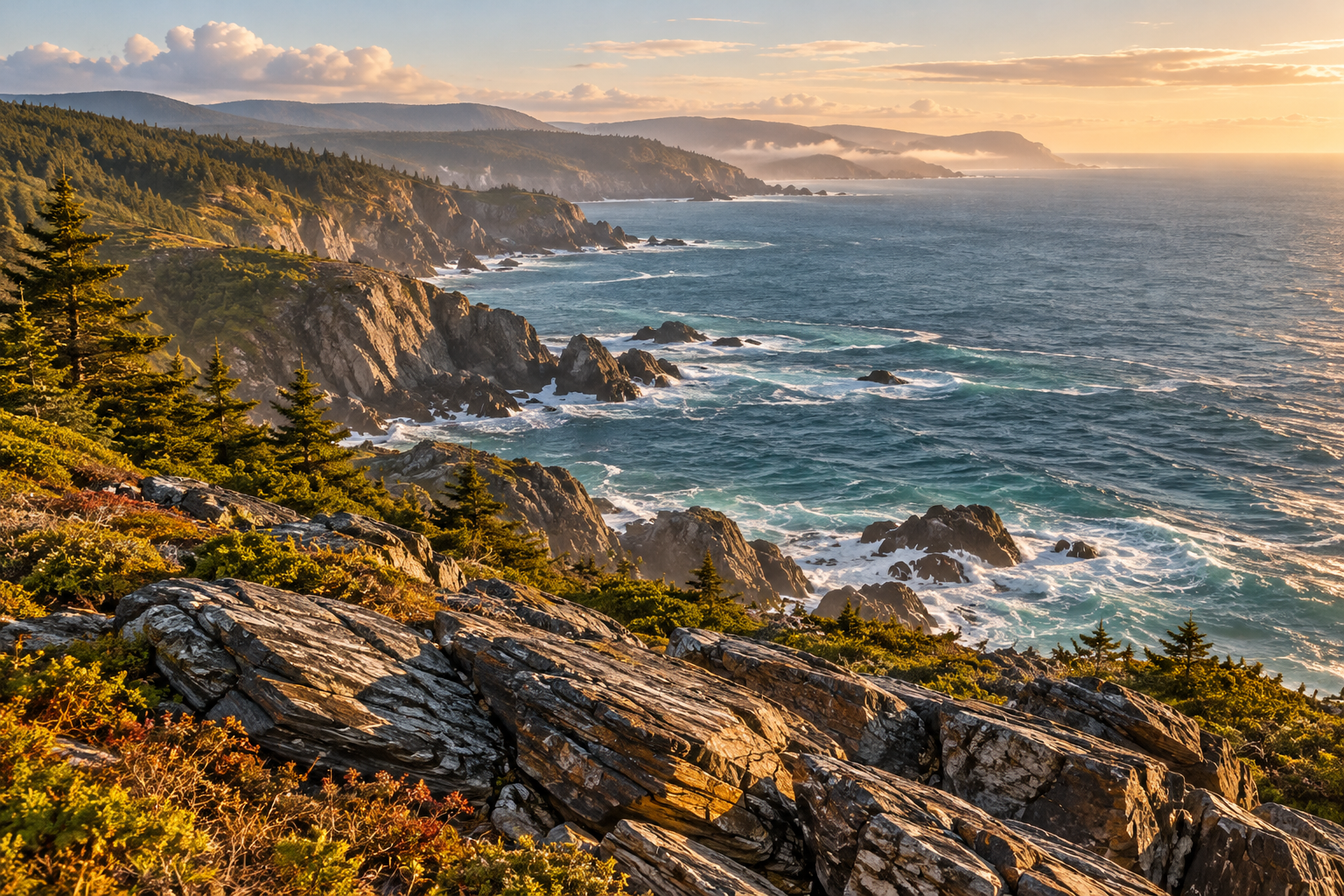
The Ocean Between Us Still Carries Connections
One present-day connection I find particularly good is the journey of African dust across the Atlantic to the Amazon. NASA researchers used satellite observations to study that transport and estimate how much phosphorus the dust delivers to the rainforest, where nutrients can be lost through rainfall and runoff. The amount varies between years, and dust is one contributor within a much larger nutrient system, but the basic journey is remarkable enough on its own. Material lifted into the air on one continent can help supply a nutrient used by plants on another, despite the considerable amount of ocean sitting between them.
That sends me off thinking about gardens, naturally, because once plant nutrients enter a discussion I'm probably going to follow them for a while. We tend to think of soil as the stuff directly underneath a plant, yet its condition depends on inputs, losses, weather, and living things doing work around it. The Amazon example takes that idea across an ocean, which is a rather ambitious delivery route for something that ends up in the dirt. I don't need to assign every grain in my own garden a dramatic prehistoric origin to find the actual movement of material interesting.
This is the part of the original idea about togetherness that still appeals to me: distance and connection can exist at the same time. Air moves, water circulates, and materials travel, with effects that can reach far beyond the place where a process started. Our maps are useful for knowing where something happened, while understanding what follows often means looking beyond the edge of that place. A political boundary can organize responsibilities between people, but a dust particle doesn't come with a little instruction sheet telling it which country it's allowed to fertilize.
The Next Supercontinent Is Still an Open Question
Pangaea was part of a longer history of continents assembling and separating, and researchers also model possible future supercontinents. In work described by NASA, scientists compared hypothetical arrangements called Aurica and Amasia, looking hundreds of millions of years ahead at how different geography could affect climate. Those are scenarios built from assumptions about future plate motion, rather than a confirmed map of the world our descendants will receive. Different arrangements produce different possibilities, which is exactly why comparing them can be useful.
The timescale alone makes me pause, because even the shorter everyday meaning of “eventually” tends to involve something I can put on a calendar. A future supercontinent sits so far beyond that calendar that the interesting part is the physics we can investigate, including how the placement of land changes a planet's climate. We can study the past to constrain an explanation, test models, and see what follows when the geography changes again. I find that much more absorbing than a single dramatic prediction with an exact-looking date attached to it.
What I Take From a Map That Used to Look Different
I understand why Pangaea invites us to talk about belonging, because the image of separated places fitting back together has an emotional pull. Our species arrived vastly later, though, so that feeling is an association we make now, rather than a memory of the supercontinent stored in our cells. I can enjoy the association while keeping its origin in the present, in the way I think about people and places and the appeal of a connection I hadn't noticed before. Geology supplies a fascinating history, and we get to decide what we want to do with the perspective it gives us.
For me, it loosens the habit of treating every place as a seperate little box with its own complete story inside. A fossil, a coastline, or a bit of airborne dust can send that story somewhere else, and following it usually makes the original place more interesting too. I still need a current map if I'm trying to get anywhere, preferably one that lets me know where I can stop for food, but I like knowing that its familiar shapes are one stage in a much longer arrangement. The Atlantic can be an ocean I admire today and a clue to a completely different past, and that seems like quite enough for one stretch of blue on the page.
A Pangaea puzzle would be a very enjoyable way to spend an afternoon with the map. Fit the continents together, move the pieces around and let the familiar coastlines become a little stranger.
Related Reads
The Plants That Predict Earthquakes: Is Nature Trying to Warn Us?
The Mushroom That Remembers You: How Fungi “Learn” and “Plan” Without a Brain
The Frozen Whisper of a Young Star: Water, Origins, and the Cosmic Nursery of HD 181327
Six Shipwrecks Beneath the Streets: The Accidental Discovery That Rewrote Maritime History
Western Europe’s Oldest Face: The 1.4‑Million‑Year‑Old Discovery Changing Human History
Terraforming Gone Wrong: The Dark Side of Space Colonization